21-C Rain-ENSO-IPO: Line graphs

From 1999, rainfall at Manilla NSW matched ENSO only up to 2011, before the IPO became positive.

Manilla rain, ENSO, IPO

This graphical log compares the rainfall at Manilla NSW with the El Niño-Southern Oscillation (ENSO) and the Inter-decadal Pacific Oscillation (IPO) through the 21st century to date. Values shown are anomalies, smoothed. (See Notes below on “Data”, “Smoothing”, and “Lagged Rainfall”.)

Rainfall (black) uses the left axis scale; the ENSO (magenta) and the IPO (green) use the inverted right axis scale.

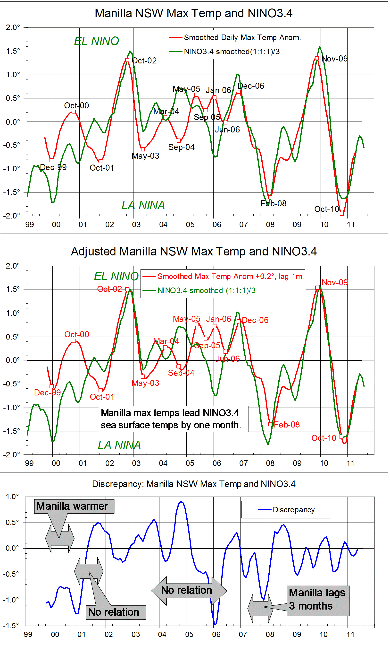
[21st century temperature and rainfall at Manilla are compared as smoothed data in the post “21-C Climate: Mackellar cycles”.]

Matches between rainfall and ENSO

There is an excellent match between the rainfall and ENSO values in the left part of the graph.
I improved the visual match by various means:
1. The ENSO scale (magenta) is inverted, because positive values of the ENSO anomaly relate to negative values of rainfall anomaly here.
2. The scales are harmonised: the zero values are aligned, and 20 mm of monthly rainfall anomaly is scaled to (minus) one degree of ENSO anomaly.
3. Smoothing is applied to suppress cycles shorter than 12 months.
4. Rainfall anomaly values are lagged by two months. (See the Note below.)
As lagged, most peaks and troughs of rainfall coincide with troughs and peaks of ENSO, and their sizes (as scaled) are often similar.

Failure to match rainfall and ENSO

In the right part of the graph, the match between rainfall and ENSO fails. There are extreme mismatches: the Super-El Niño of 2014-16 had no effect on local rainfall, the rainfall deluge of 2011-12 came with a mild and declining La Niña, and the extreme drought of 2018 came while ENSO was neutral.
By visual inspection, I judge that a close relation of rainfall to ENSO, which had applied for the twelve years up to September 2011, then failed for the following seven years.

Influence of the IPO

The inter-decadal Pacific Oscillation (IPO) affects the relation between ENSO and Australian weather. (See note below “Effect of the IPO”.)

Power et al.(1999) show that Australian seasonal weather and its prediction align with ENSO only when the IPO is negative. It follows that a good match between ENSO and Manilla rainfall was expected while the IPO (green) was negative from 1999 to 2013, and was not expected from 2014 to 2017. The trend of the IPO through 2016-17 makes it likely that the IPO continued positive through 2018, as the mismatch between rainfall and ENSO persisted.
Power et al. note that the relation is not sensitive to the width of a neutral zone chosen to separate the positive and negative regimens of the IPO. In this particular case, the rainfall/ENSO match failed as the IPO rose through minus one degrees. However, the rainfall/ENSO match began in 1999, much earlier than the time when the IPO fell through minus one degrees.

Scatter plots

In a following post I show scatter plots and regressions for the periods of match and mismatch on this graphical log.


NOTES

Data

Rainfall

Continue reading

Predict weather from ENSO?

(Someone asked me to set down my thoughts about this.)

“Droughts and flooding rains” *

The climates of places in Australia cycle from hot, arid and dry, to cold, humid and wet every couple of years. (Dorothea Mackellar said she loved a sunburnt country “of droughts and flooding rains”*) This is a kind of quasi-biennial oscillation (QBO).  For more about the QBO, see this post, and the links in it. The cycles get weaker and stronger, more droughty or more rainy, and sometimes take about one year, sometimes three or more.

The climate of the Pacific Ocean has similar cycles, called the Southern Oscillation, discovered by Gilbert Walker a century ago. The pressure difference between Darwin and Tahiti oscillates in a way that reflects other widespread changes in climate. This is now called the El Niño – Southern Oscillation (ENSO) and it is monitored by sea-surface temperature east of Nauru in the Pacific Ocean, called NINO3.4. Now that we have up-to-date data on NINO3.4, the public has been led to believe that the data can be used to forecast Australian weather. It really can’t.

Problem No.1: Weather varies from place to place.

Every district in Australia has different weather, so one size does not fit all. Wasyl Drosdowsky made a map defining the regions that have consistent relationships to ENSO and other indices, but nobody has taken up the idea. (I would if I was boss of the Bureau of Meteorology!) Drosdowsky’s regions are rather similar to the States, but Victoria and the southern half of South Australia form a single region.

Problem No.2: Forecast is too late.

The ENSO cycle does not predict a cycle in any part of Australia because it happens at about the same time, and it takes a month or more to collate the data. Weather prediction from ENSO is always late. Consequently, there is a business to predict ENSO some months ahead. These predictions are very unreliable. Then the predictions of ENSO values are used to predict Australian weather, with vague statements of which regions will be affected.

To make matters worse, my Manilla data from 1999 shows that my weather happens in advance of the ENSO changes. I compared the ENSO log from 1999 to 2011 with smoothed daily maximum temperature anomaly, (1 month ahead)  smoothed monthly rainfall anomaly, (2 months ahead) and smoothed early morning dew point anomaly(3 months ahead). If droughts and deluges happen before peaks and troughs of ENSO at other places in Australia, this makes prediction from ENSO even less likely to work.

[Note added 14/07/2015. Updated graphs comparing the ENSO log from 1999 to 2014 with smoothed daily maximum temperature anomaly and smoothed monthly rainfall anomaly at Manilla are in this post. Manilla’s climate has not related very well to ENSO since mid-2011.]

[Note added 10/10/2019. Updated data confirm that ENSO lagged Manilla rainfall by 2 months from 1999 to August 2011, then failed to relate to Manilla rainfall after September 2011.
See: “21-C Rain-ENSO-IPO: Line graphs” and “21-C Rain ENSO IPO: Scatterplot”.
According to Power et al.(1999)Australian rainfall usually fails to relate to ENSO when the IPO goes positive, as it did from 2014 to 2017 (and 2018?).]


* By arrangement with the Licensor, The Dorothea Mackellar Estate, c/- Curtis Brown (Aust) Pty Ltd.


Data are cheap; information is expensive!


Originally posted on 12/5/2013 to a thread “ENSO Discussion 2013” on a “weatherzone forum.

Manilla Dew Point leads ENSO by three months

Manilla dew point lags NINO3.4 sea surface temperature by 3 months.

(This material justifies a statement in the post “Predict weather from ENSO?”)

The graphs above are like those in two previous posts, but show how Manilla smoothed monthly dew point anomalies, like temperature anomalies and rainfall anomalies, relate to the El Niño-Southern Oscillation (ENSO).

High (El Niño) values of Sea Surface Temperature (NINO3.4) are shown here to relate to low humidity at Manilla, NSW. As humidity data, I estimate dew points daily at sunrise. Dew points, like Sea Surface Temperatures, are expressed in degrees celsius, but corresponding anomalies take the opposite sense. The first graph plots the Manilla dew point anomaly, given a  negative sign, and the NINO3.4 anomaly. To improve the match, I have lagged the Manilla dew points by three months. As an example, I have noted on the graph the match of Manilla’s November 2005 humidity peak with the La Nina ENSO peak of February 2006.

To the eye, the over-all match is better than in either the rainfall or the maximum temperature plots of earlier posts. The two curves here match very well from 2000 to 2007.

The second graph shows the discrepancy between the two curves. Dashed lines show limits of a good match at +/-0.5 degrees. The nature of each larger discrepancy is noted. (“Here” in text boxes means “at Manilla”.)
After 2007 there are large mis-matches between Manilla dew point and ENSO. Dew point fluctuations suddenly become less than might be expected from NINO3.4 values. It may be relevant that, as I posted elsewhere  in July 2010, skies suddenly became very much cloudier at Manilla after August 2007.

I have also tried plotting the following variables against NINO3.4:

Daily minimum temperature;
Daily temperature range;
Percent cloudy mornings;
Subsoil temperature.

None of them matches NINO3.4 well enough to display.

The three sets of graphs show “teleconnections” between Sea Surface Temperatures in the equatorial Pacific and climate variables at Manilla in inland NSW, Australia. Climatic peaks come earlier at Manilla than in the Pacific:

Peaks of daily maximum temperature come one month earlier;
peaks of rainfall come two months earlier;
peaks of Dew Point come three months earlier.

In a simple-minded way, it seems to me more likely that Australia’s climate drives the Southern Oscillation than the other way around. I know that this is speculation. (Sort of like Abraham Ortellius suggesting in 1587 that Africa and South America might have drifted apart.)

Notes
1. High frequency noise is reduced in the case of the Manilla monthly data by a Gaussian smoothing function of half-width six months.
2. On advice, I represent the El Nino – Southern Oscillation phenomenon (ENSO) by the NINO3.4 area anomalies from the OISSTv2 data set.
My enquiries about the best data to use are in this “weatherzone”  thread.
The ensemble of sea surface temperatures does not have much high-frequency noise. There is some, however, and I have used the same smoothing as used in the (formerly authoritative) Oceanic Nino Index (ONI), that is, a running mean of each three monthly values.


This was posted originally in a “weatherzone” forum, with the date 12 November 2011. It is posted here with the nominal date 29 November 2011.


Manilla rainfall extremes reflect NINO3.4 temperature

Manilla rainfall matches NINO3.4 sea surface temperature.

(This material justifies a statement in the post “Predict weather from ENSO?”)

The graphs above are like those in an earlier post, but show how Manilla monthly rainfall anomalies, rather than maximum temperature anomalies relate to the El Nino-Southern Oscillation (ENSO). Most people using ENSO  want to predict Australian regional rainfall.

In the second graph I have improved the match at peaks and troughs of smoothed Manilla monthly rainfall anomalies and NINO3.4 sea surface temperature anomaly data in two ways.
1. I converted the sea surface temperature anomaly (degrees C) into a model of resultant rainfall anomaly (mm) by multiplying by minus fifteen.
2. I added 3.7 mm of rainfall to the Manilla figures, and I lagged the data by two months.

To the eye, the over-all correspondence between actual and modelled rainfall is good, but not quite as good as in the temperature graphs. One form of mis-match is that two of the greatest rainfall deficits (“El Nino” Nov-06, Dec-09) are broader and shallower than in the model. (Perhaps an arithmetic measure of rainfall anomaly is not the best.)

The third graph shows how much Manilla rainfall, as adjusted, differs from the rainfall “predicted” by the NINO3.4 model. Dashed lines show limits of a good match at +/- 7.5 mm (corresponding to +/-0.5 degrees). The nature of each larger discrepancy is noted.

A good match demands lagging actual rainfall at Manilla by two months. That implies that peaks and troughs in Manilla rainfall anomalies happen two months before the matching anomalies of NINO3.4. I wonder if prediction is even practical if that is the case in other parts of Australia.

Notes
1. High frequency noise is reduced in the case of the Manilla monthly data by a Gaussian smoothing function of half-width six months.
2. On advice, I represent the El Nino – Southern Oscillation phenomenon (ENSO) by the NINO3.4 area anomalies from the OISSTv2 data set.
My enquiries about the best data to use are in this “weatherzone”  thread.
The ensemble of sea surface temperatures does not have much high-frequency noise. There is some, however, and I have used the same smoothing as used in the (formerly authoritative) Oceanic Nino Index (ONI), that is, a running mean of each three monthly values.


This was posted originally in a “weatherzone” forum, with the date 28 October 2011. It is posted here with the nominal date 16 November 2011.

(Note added: Updated to include 2013 here.)


Manilla temperature matches NINO3.4 temperature.

Manilla maximum air temperature matches NINO3.4 sea surface temperature.

[This material justifies a statement in the post “Predict weather from ENSO?”]

[Note added:
This post relating ENSO to Manilla temperature is matched by similar posts relating ENSO to Manilla rainfall and to Manilla humidity (dew point). Manilla climate peaks and troughs generally happen before the related ENSO peaks and troughs, not after them.]

Smoothed daily maximum temperature anomalies for 140 months at Manilla, NSW are compared with NINO3.4 region Sea Surface Temperature anomalies. They match very closely, especially at peaks and troughs of the Southern Oscillation. The first graph is a log of the data as described in the notes below.
The match can be improved, as in the second graph, by making two adjustments. The reference periods for the anomalies are not the same. In any case it is pure coincidence that the temperature values are so close. I have chosen to add 0.2 degrees to the Manilla figures. At several of the major peaks and troughs the Manilla temperature leads the Sea Surface temperature by one month. I have chosen to lag all the Manilla temperatures by one month.
The third graph quantifies the remaining discrepancies. For most of this short record, the adjusted, one-month lagged Manilla smoothed daily maximum temperatures agreed with ENSO3.4 Sea Surface Temperatures within a margin of 0.5 degrees. Periods when the discrepancy was greater are noted on the graph.
At first (Sep-99 to Nov-00: 15 months) Manilla temperatures were in phase with the Southern Oscillation but one degree warmer.
For a time (Dec-00 to Dec-01: 13 months) there was no agreement.
From Jan-02 to Jun-03 (18 months) temperatures agreed.
From Jul-03 to May-06 (35 months) there was again no agreement.
In the long period (59 months) from Jun-06 to the end of the record in Apr-11, temperatures agreed except for one interruption: Manilla temperature lagged by three months at the La Nina trough of Feb-08, causing a discrepancy of minus one degrees.
In the 140-month record, Manilla temperatures faithfully followed Sea Surface temperatures in 77 months (55%), and were in phase in another 15 months (11%). Times when there were large discrepancies were generally times when the Southern Oscillation was near-neutral.


Notes
1. High frequency noise is reduced in the case of the Manilla monthly data by a gaussian smoothing function of half-width six months.
2. On advice, I represent the El Nino – Southern Oscillation phenomenon (ENSO) by the NINO3.4 area anomalies from the OISSTv2 data set.
My enquiries about the best data to use are in this “weatherzone”  thread.
The ensemble of sea surface temperatures does not have much high-frequency noise. There is some, however, and I have used the same smoothing as used in the (formerly authoritative) Oceanic Nino Index (ONI), that is, a running mean of each three monthly values.


This was posted originally in a “weatherzone” forum, with the date 25 October 2011. It is posted here with the nominal date 28 October 2011, and made “sticky” on 27 May 2014.