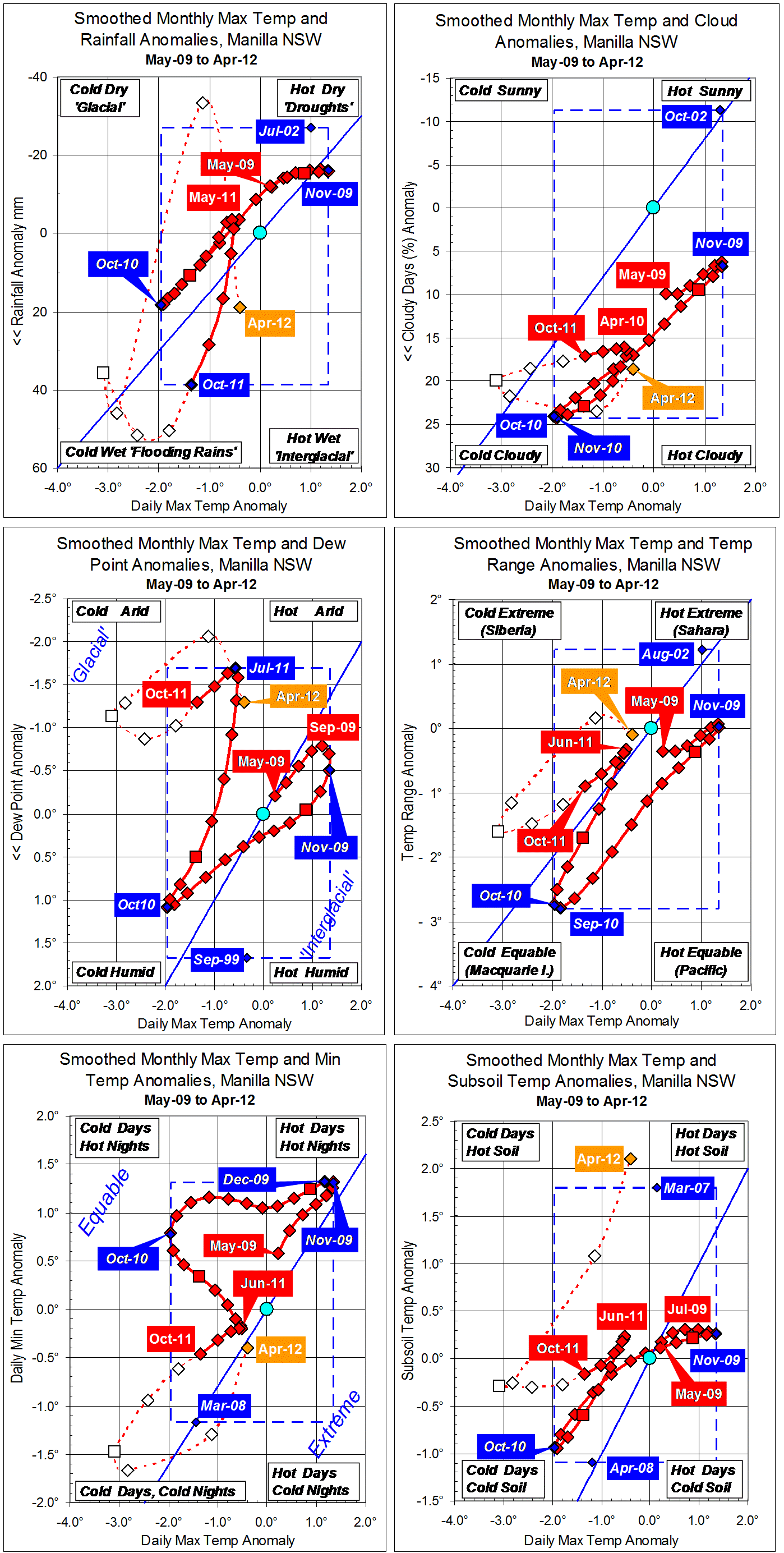
Parametric plots of smoothed climate variables at Manilla
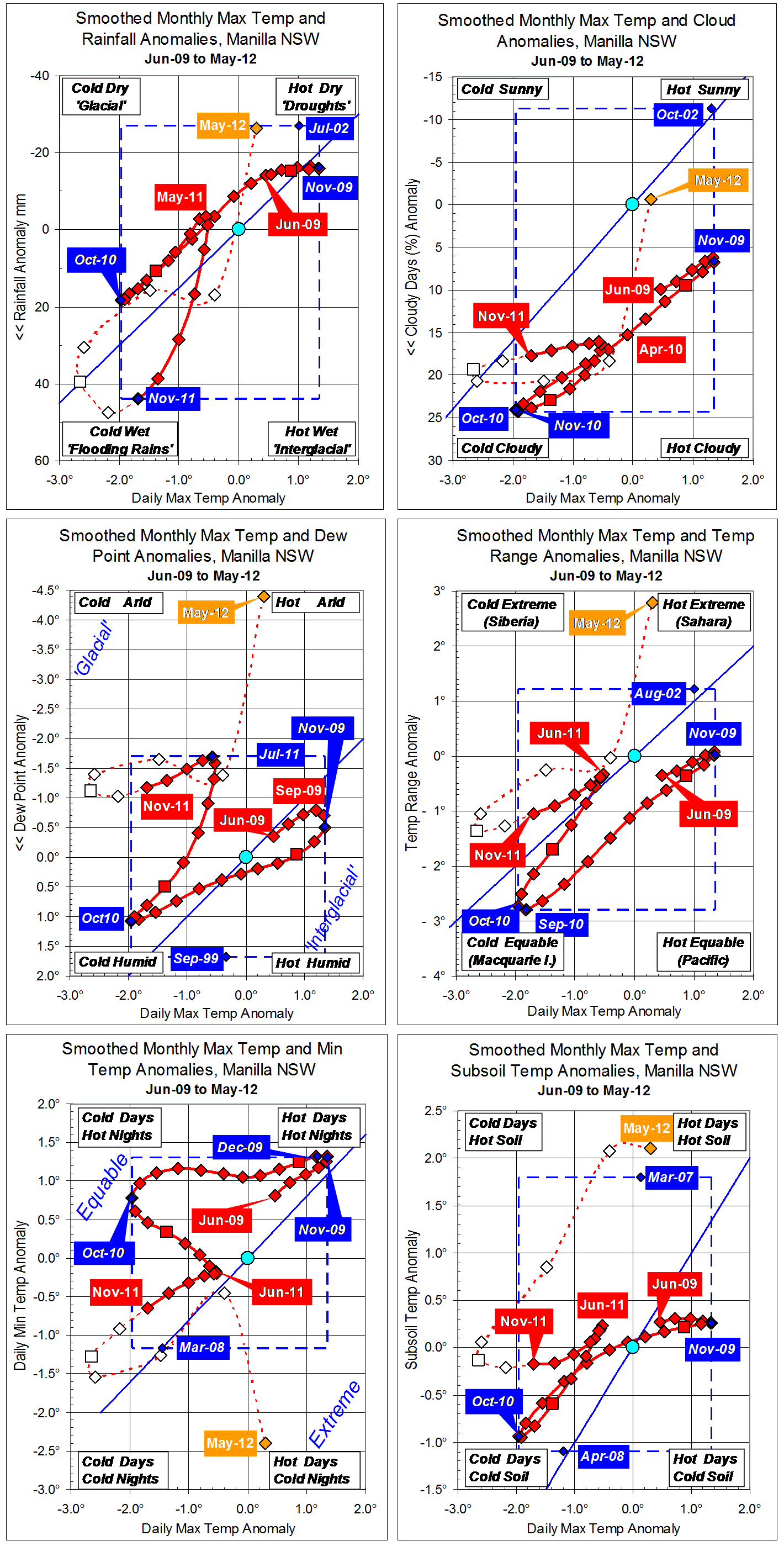
New raw data for May 2012 anomalies show a dry climate, quite unlike the extremely wet and very cold summer. Daily max temp was slightly above normal and rainfall well below normal. The Dew Point was extremely low, daily min temp very low, and temperature range very wide. Subsoil temperature remained high: for five months it has been two degrees warmer than might be expected from the daily maximum air temperature.
Spring (SON) 2011 anomalies (now fully smoothed) changed as follows:
Max temp fell rapidly from one degree below normal;
Rainfall began high and increased very rapidly;
Cloudiness remained rather high;
Dew Point was low, but rose slightly;
Temp range and Min temp were both rather low and decreasing;
Subsoil temp was normal.
A new 13-year record high monthly rainfall anomaly of +43.8 mm came in November. This beats the record set the previous month by 5 mm, but it may be beaten the following month.
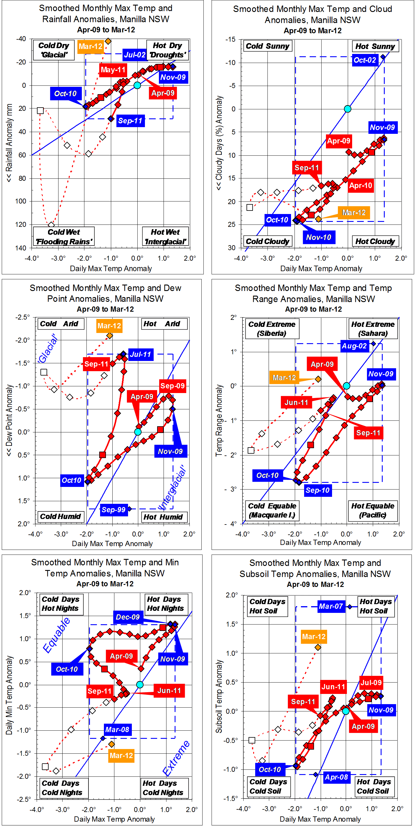
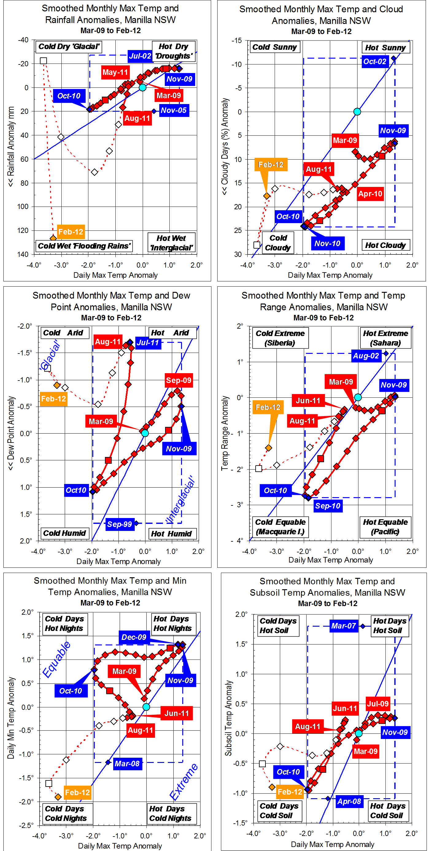
Note: Fully smoothed data – Gaussian smoothing with half-width 6 months – are plotted in red, partly smoothed data uncoloured, and raw data for the last data point in orange. January data points are marked by squares. Blue diamonds and the dashed blue rectangle show the extreme values in the fully smoothed data record since September 1999.