My old E. albens.
The first week was 5 deg warmer than average, and the fourth and fifth weeks were also warm. The 7th of the month, at 37°, was the second hottest October day in this century, then the night of the 25th, at 21.3°, was the warmest October night.
Most days were sunny. Rain was recorded on the 12th (16.6 mm) and the 17th (4.4 mm).

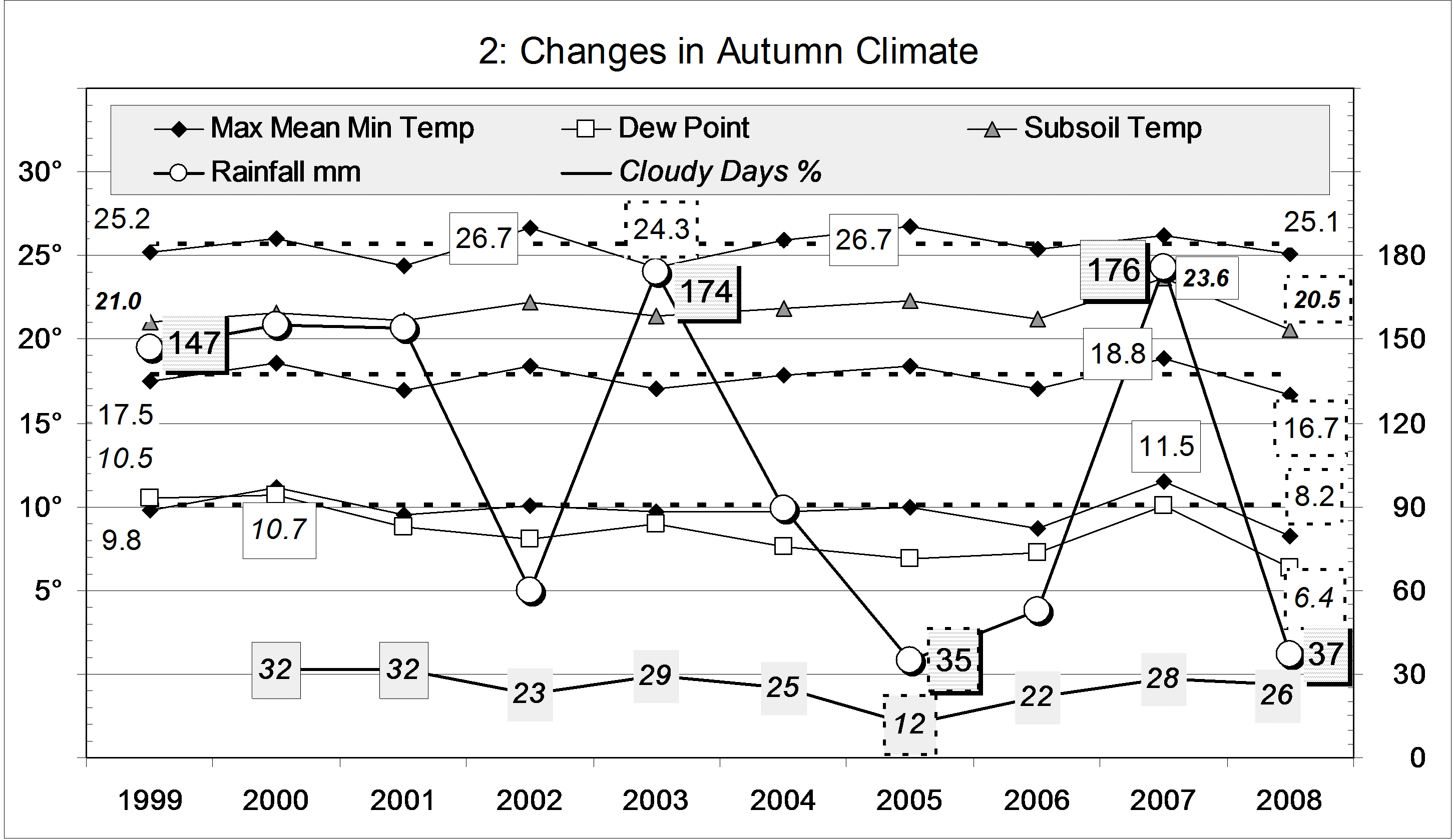
Comparing October months
This was the second-warmest October of the new century by all three temperature measures: daily max: 29.7°; daily mean: 21.2°; and daily min: 12.7°. The warmest had been October 2015, with 30.2°, 21.7°, and 13.1°.
It was a dry month but, by various measures, not as dry as in 2013 or 2014.
The rainfall total of 21.0 mm is in the 16th percentile, and the 20th driest on record.

Drought
I will report separately on the on-going drought that continues to break low-rainfall records at durations of 15-months and longer.
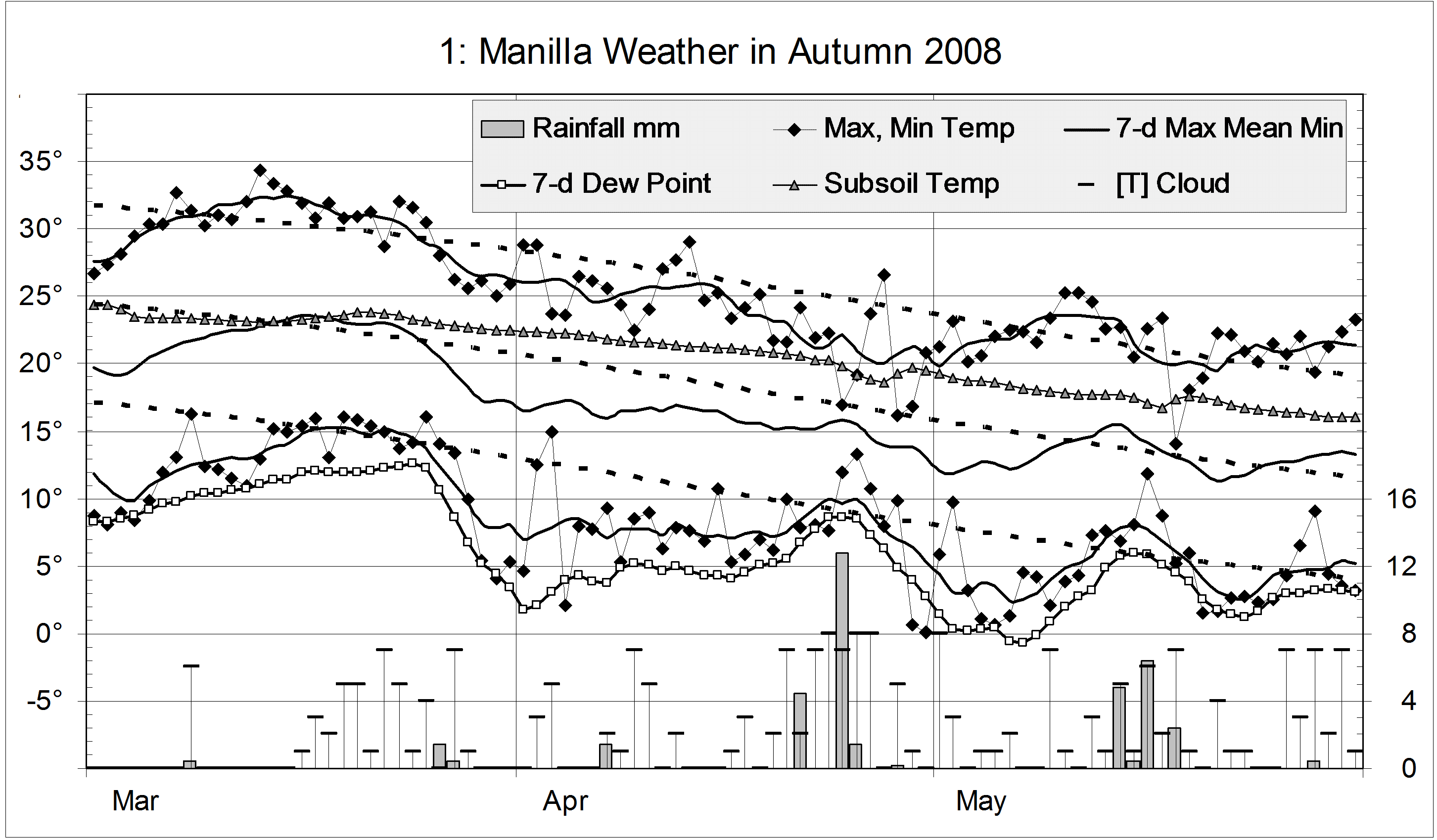
Data. A Bureau of Meteorology automatic rain gauge operates in the museum yard. From 17 March 2017, 9 am daily readings are published as Manilla Museum, Station 55312. These reports use that rainfall data when it is available. Recording resumed on 20 July 2019.
My estimates of early morning dew point have drifted anomalously low. From August 2019, I use data from the Tamworth Airport published graphs.
All other data, including subsoil at 750 mm, are from 3 Monash Street, Manilla.