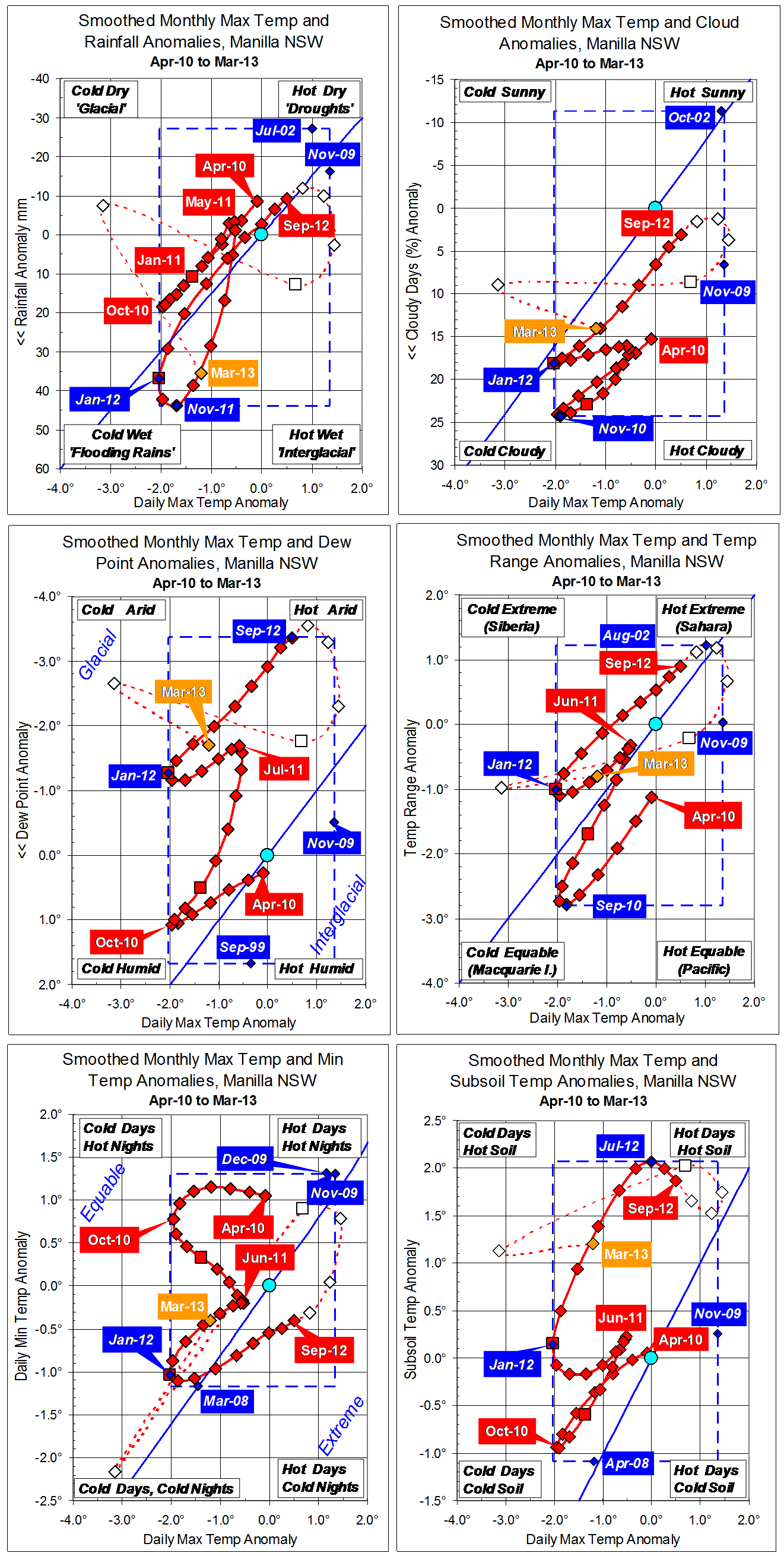
Parametric plots of smoothed climate variables at Manilla
“January 2016: moist again”

January raw anomaly data (orange)
In January 2016, raw values for nearly all anomalies moved well towards the cool and moist corner of the graphs.
Fully smoothed data (red)
In the latest month with fully smoothed data (July 2015) anomalies were quite small, but were moving towards warm and dry. Partially smoothed data points for more recent months show that the warm and dry “El Nino” influence on values around October and November was smaller than it seemed at first. In particular, rainfall did not go below the “normal” range, but the anomaly of daily minimum temperature rose quite high.
Note:
Fully smoothed data – Gaussian smoothing with half-width 6 months – are plotted in red, partly smoothed data uncoloured, and raw data for the last data point in orange. January data points are marked by squares.
Blue diamonds and the dashed blue rectangle show the extreme values in the fully smoothed data record since September 1999.
Normal values are based on averages for the decade from March 1999.* They appear on these graphs as a turquoise (turquoise) circle at the origin (0,0). A range of anomalies called “normal” is shown by a dashed rectangle in aqua (aqua). For values in degrees, the assigned normal range is +/-0.7°; for cloudiness, +/-7%; for monthly rainfall, +/-14 mm.
* Normal values for rainfall are based on averages for the 125 years beginning 1883.