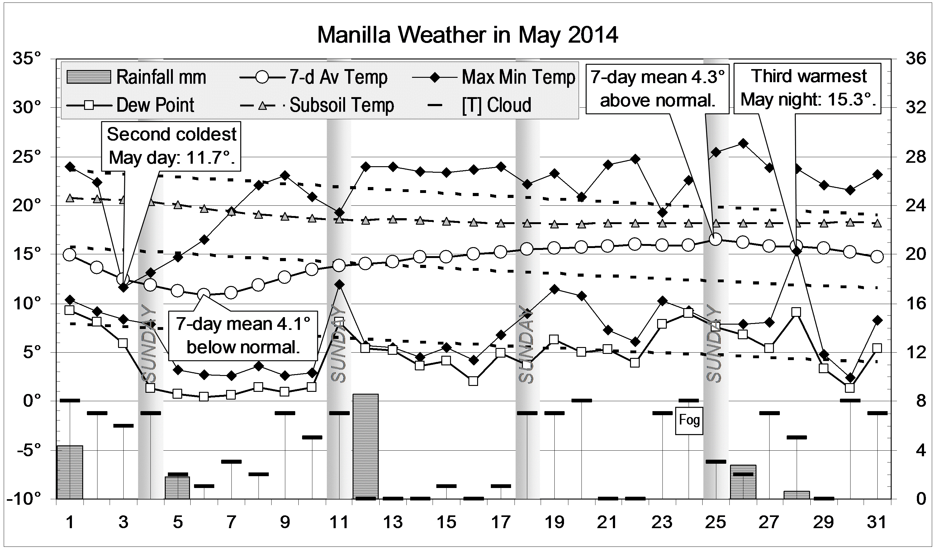
The daily weather log

Early-blooming Hardenbergia
The weekly temperature was normal throughout, but the first half of the month had sunny warm days, cold nights and very dry air. The night of the 3rd (-4.0°) was the coldest August night this century, and the early morning of the 12th had the lowest August dew point (-8.7°). Two brief overcast and rainy spells began on the 16th and 26th, yielding 54.4 mm in five rain days. The reading of 26.6 mm on the 17th was one of the highest for August in recent years.
The number of frosts (12) was a little below normal (15).

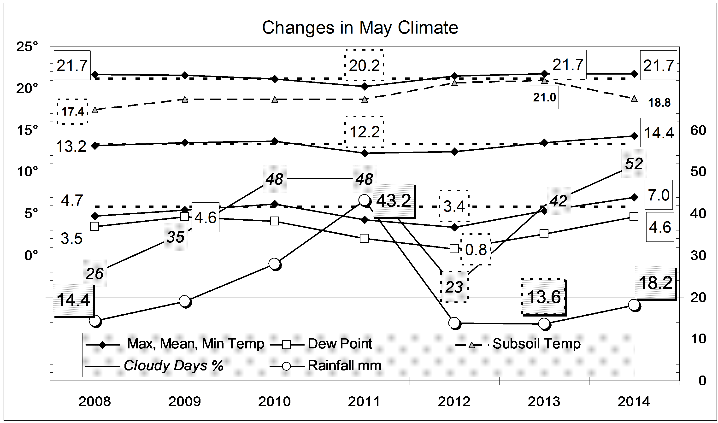
Comparing August months
While August 2008 had been the coolest, and August 2009 the warmest in the 21st century, nearly all averages this month were near normal. As exceptions, the daily maximum temperature was slightly low and the dew point (as in the two previous August months) was very low. Few mornings had dew on the grass.
The total rainfall of 54.4 mm is in the 75th percentile, well above the August average (40 mm). This rain also raised the rainfall totals for periods of more than one month, so that only the 18-month total of 691 mm now remains as a serious shortage (9th percentile).

Data. Rainfall data is from Manilla Post Office, courtesy of Phil Pinch. Temperatures, including subsoil at 750 mm, and other data are from 3 Monash Street, Manilla.