May 2018 third driest

Sunset clouds

the heavens’ embroidered cloths

Temperatures did not stray far from normal. The first (black) frost that I observed was on the 15th, near the normal date for it (13th May). That began a week of sunny skies and very dry air.
There was only one rain day. An early morning shower gave a reading of 1.2 mm on the 30th.

May 2018 weather log

Comparing May months

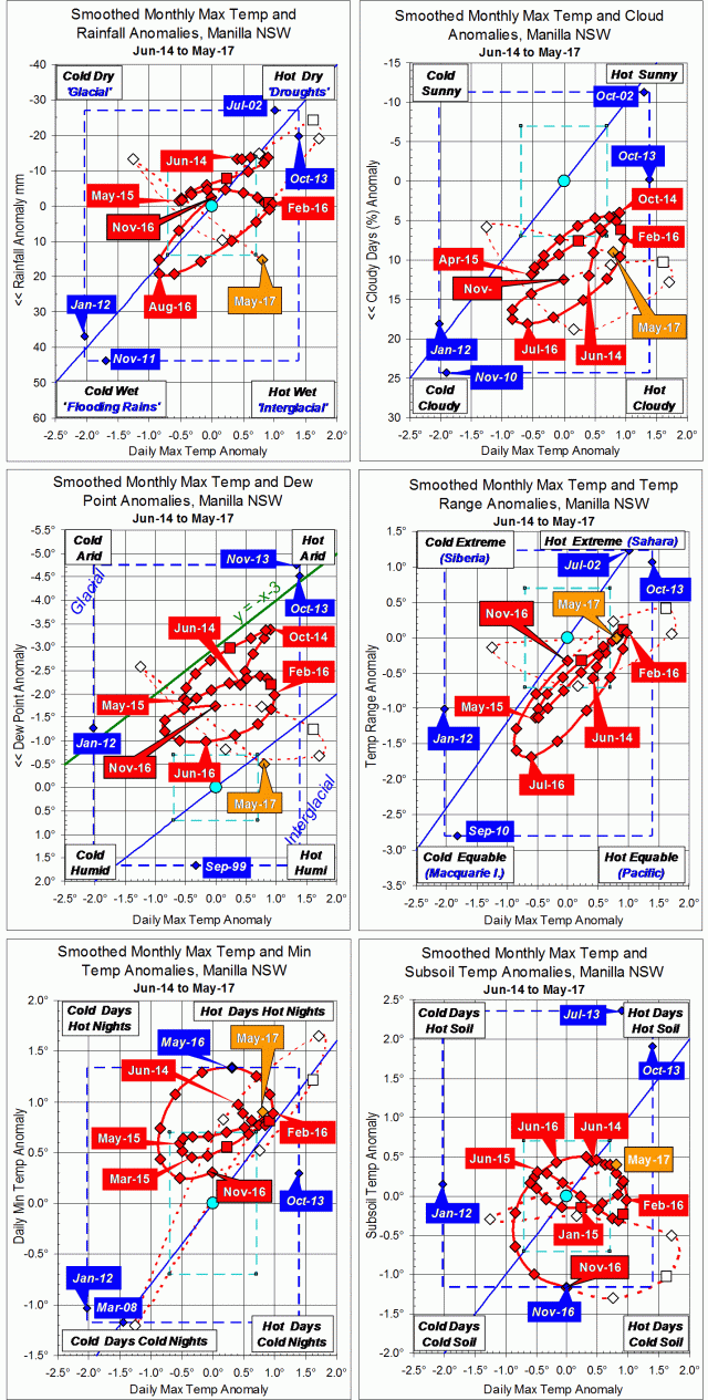
The May months in 2018, 2017, and 2016, as well as in 2014, were all warm. The average temperature was more than half a degree above the normal value of 13.3°. While May 2017 was warm, wet, and humid, May 2018 was warm, dry, and arid. The air was exceptionally dry, with the mean early morning dew point (0.0°) the lowest for May, and the relative humidity at that time 68% instead of the usual 80% to 90%.
The rainfall total of 1.2 mm was third driest for May, equal with May 2002, but not as dry as May 2006 ( 0.2 mm). Only May 1927 was drier, with zero. May rainfall values have been low in the 21st century, with an average of 23 mm, compared to the long-term average of 41 mm.

Climate in May months

Rainfall Shortages

Last month, April 2018, had only two rainfall shortages classed as “serious” (below the 10th percentile): those for durations of five years and six years. Since then, more shortages have appeared. Those five-year and six-year shortages remain, but there are now serious shortages for durations of five months and twelve months, and severe shortages (below the 5th percentile) for one month, two months and three months. The current three-month total (45 mm) is at the 4th percentile.


Data. A Bureau of Meteorology automatic rain gauge operates in the museum yard. From 17 March 2017, 9 am daily readings are published as Manilla Museum, Station 55312.  These reports use that rainfall data when it is available.  The gauge, which had last reported on 24 September 2017, came on line again on the 16th of March. However, during the month of May eleven daily readings were blank. I have substituted my own gauge readings, which were all zero.

All data, including subsoil at 750 mm, are from 3 Monash Street, Manilla.

3-year trends to May 2018

Warm and Very Dry

3-year trends to May 2018

May raw anomaly data (orange)

The raw maximum temperature anomaly for May 2018 was rather high, as was that of the subsoil. The anomaly of daily minimum temperature was low. Very low moisture was shown by the rainfall, daily temperature range, and dew point anomalies, but cloudiness was normal.

 Fully smoothed data (red)

Fully-smoothed data are now available for the spring months (SON) of 2017. In that season, all three temperatures were within their normal range. Both air temperatures were rising, but subsoil temperature was falling.
Rainfall was moving up the graph to less than normal (i.e. arid). The other three moisture measures were moving down their graphs towards humidity: cloudiness more than normal (i.e. humid), dew point still less than normal (i.e. arid), and daily temperature range still wider than normal (i.e. arid).


Note:

Fully smoothed data – Gaussian smoothing with half-width 6 months – are plotted in red, partly smoothed data uncoloured, and raw data for the last data point in orange. January data points are marked by squares.
Blue diamonds and the dashed blue rectangle show the extreme values in the fully smoothed data record since September 1999.

Normal values are based on averages for the decade from March 1999.* They appear on these graphs as a turquoise (turquoise) circle at the origin (0,0). A range of anomalies called “normal” is shown by a dashed rectangle in aqua (aqua). For values in degrees, the assigned normal range is +/-0.7°; for cloudiness, +/-7%; for monthly rainfall, +/-14 mm.

 * Normal values for rainfall are based on averages for the 125 years beginning 1883.

Warm Wet May 2017

Photo of blossoms on a gum tree

Mugga Ironbark Blossoms

The weather was normal for the first half of the month, bringing a mild first frost on the 11th, close to the normal date for it. Then the weather became warmer and wetter. Rain totalling 32.8 mm was recorded on the 20th, while the minimum temperature of 14.0° that morning was 8.6° above normal. The weekly average temperature rose to 3.8° above normal, before falling below normal as the rain eased towards the end of the month. The last two mornings were frosty.
In all, there were five rain days (over 0.2 mm) when there are usually three.

Weather log for May 2017

Comparing May months

Like May last year, this month was about one degree warmer than normal, unlike May of 2007, which was half a degree warmer again. The dew point (4.7°) was a little low, the daily temperature range (15.3°) normal, the cloudiness (32%) and the rainfall rather high.
The total rainfall of 55.6 mm was at the 70th percentile, well above the May average of 41 mm. There are no shortages of rainfall for groups of months to this date.

Climate for May 2017


Data. A Bureau of Meteorology automatic rain gauge operates in the museum yard. From 17 March 2017, 9 am daily readings are published as Manilla Museum, Station 55312.  These reports use that rainfall data when it is available. All other data, including subsoil at 750 mm, are from 3 Monash Street, Manilla.

3-year trends to May 2017

Parametric plots of smoothed climate variables at Manilla
“Record cold subsoil November 2016”3-year climate trends to May 2017

May raw anomaly data (orange)

While not far from normal, May 2017 was warm and humid (“Interglacial”), in contrast to April, which had been cool and arid (“Glacial”).The daily temperature range remained normal as both maximum and minimum temperature anomalies rose. Subsoil temperature rose above normal.

 Fully smoothed data (red)

The most recent fully-smoothed data point, for November 2016, completes data for the spring season. Following a winter that had been cool and moist, spring showed rapid warming and drying. The November dew point seems to have reached a minimum: one not nearly as low (arid) as in the previous two years.
The smoothed anomaly of daily minimum temperature, which had hit a record high value in May 2016, approached a minimum value that was near normal in October, and began to rise again.
Smoothed subsoil temperature anomaly reached a new record low value of -1.16° in November. It beat a record that was set in March 2008, a few months after the global temperature minimum of October 2007.


Note:

Fully smoothed data – Gaussian smoothing with half-width 6 months – are plotted in red, partly smoothed data uncoloured, and raw data for the last data point in orange. January data points are marked by squares.
Blue diamonds and the dashed blue rectangle show the extreme values in the fully smoothed data record since September 1999.

Normal values are based on averages for the decade from March 1999.* They appear on these graphs as a turquoise (turquoise) circle at the origin (0,0). A range of anomalies called “normal” is shown by a dashed rectangle in aqua (aqua). For values in degrees, the assigned normal range is +/-0.7°; for cloudiness, +/-7%; for monthly rainfall, +/-14 mm.

 * Normal values for rainfall are based on averages for the 125 years beginning 1883.

May 2016: cooling down

Photo of caterpillars in procession.

White Cedar caterpillars.

Until the last week of May, the warm weather of March and April continued. Three nights (early mornings) were more than eight degrees warmer than normal. At 16.5°, the early morning of the 1st was the second warmest for May in this century after 16.9° on 3/5/2000. The first frost (a black frost) came on the 25th, not as late as in 2014, when the first frost came on the 8th of June! (More frost information is here.)

I recorded rain on 7 days (normally 3 in May) but 4 of them had less than 2 mm. The highest reading was 13.8 mm on the 2nd. The afternoon humidity was very high (seldom below 40%) which may explain the bothersome mosquitoes.

 Weather log for May 2016

Comparing May months

The month was warm, especially at night, but not as warm as May in 2007 or 1999.
Skies were more cloudy than usual, at 45% cloudy mornings (more than 4/8 cloud). May is usually sunny, with only 24%, but both 2014 and 2015 had a record 52%
The total rainfall of 34.5 mm was near the average of 41 mm, in the 54th percentile. (Since 1998, every May rainfall except 2011 has been below average.) For the seventh month in a row, there are no serious rainfall shortages for totals for any number of months. Again, the greatest shortage is the 48-month total (2211 mm) which is now in the 14th percentile. Ponds persist in Greenhatch Creek, but a neighbour’s dam is dry.

Climate for May 2016


Data. All data, including subsoil at 750 mm, are from 3 Monash Street, Manilla. Rainfall data up to 26/3/15 is from Manilla Post Office, Station 055031.