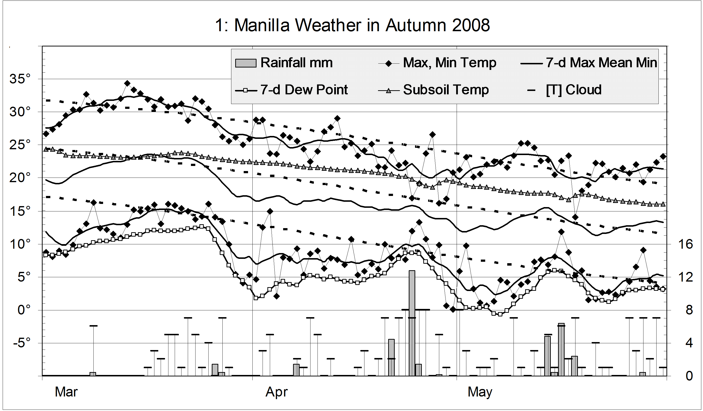
The daily weather log

Most of June was very warm. The 7-day average temperature stayed three degrees above normal for the first three weeks. All five rain days came during that time. The first, with 38.2 mm, was the wettest June day in a decade. By the 4th of the month the average rainfall for June (44 mm) had already been beaten. Sadly, the total rose only to 65.2 mm, the same as last year. Around the rainy days the nights were about 7° warmer than usual, and humidity was high (morning Dew Points near 10°). There were frequent fogs, including one on Saturday the 7th that was widespread and thick, and lasted a long time.
The fourth week saw a return to normal June temperatures, with sunny cloudless days. Frosts came back, but there were only eight altogether instead of the usual thirteen.
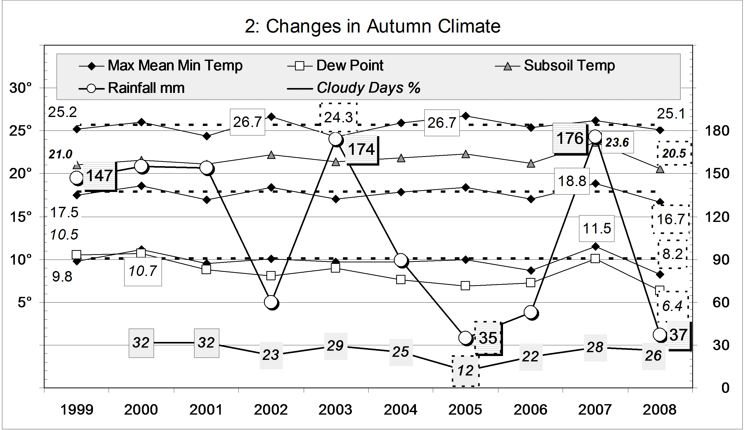
Comparing June months

This June was warm and humid. However, due to the cool, dry change in the fourth week, it was no warmer or more humid than June of 2005. The graph shows that June 2005 had very high rainfall. It was the sixth wettest June on record.
While this month had more cloud than usual, June last year was much cloudier, and had bitterly cold days – nearly five degrees colder! By contrast, sunny June 2006 had very cold nights, including 21 frosts.
The rainfall total of 65 mm is high. It is in the 78th percentile for June, and nearly twice the median value (36 mm).
The rainfall total for this May and June together (79 mm) is in the 38th percentile of two-monthly totals, while the three-monthly total (99 mm) is in the 23rd percentile. Being above the tenth percentile, these do not count as “serious” shortages of rainfall. The four-month total (101 mm) is a serious shortage: it is only in the 9th percentile. The five-month total is much better (in the 35th percentile). Rainfall totals for longer periods are all normal, that is, near the median.
Data. Rainfall data is from Manilla Post Office, courtesy of Phil Pinch. Dew point values before August 2005 are from Tamworth Airport 6 am data supplied by the Bureau of Meteorology. Temperature and other data are from 3 Monash Street, Manilla.